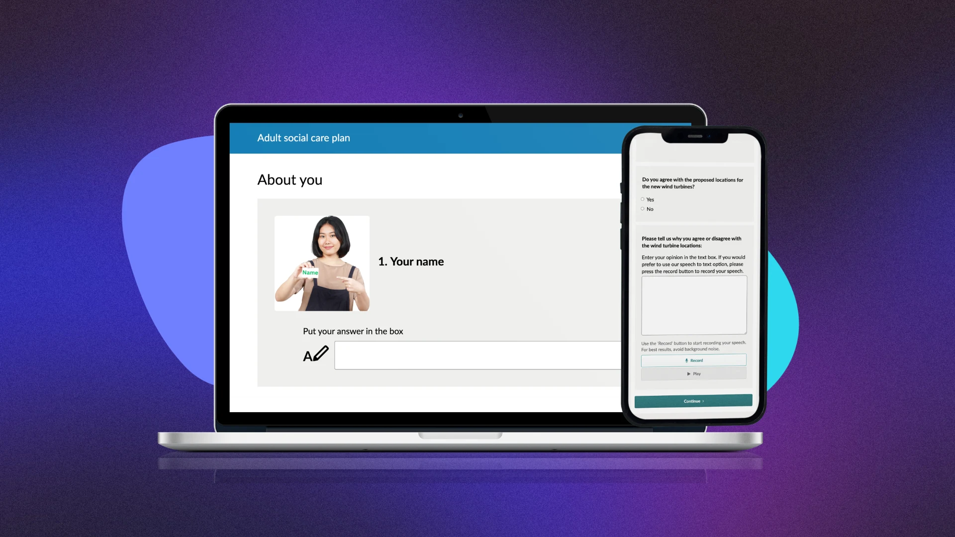
Using maps in citizen engagement
Take learning to the next level. Our webinars are live, on demand and always free.
Transform the way you run place-based engagement by using maps in your survey or consultation. Find out how Citizen Space Geospatial can enrich your engagement activities and make it easier for people to have input into decisions on places they care about.
Topics covered include:
- Using maps to inform people about their area
- How maps can support the different stages of decision-making
- How maps can empower people to have their say
- Working with map data
Speed study
In a hurry? Get the answers you need in 5 minutes or less on our knowledge base.


.avif)