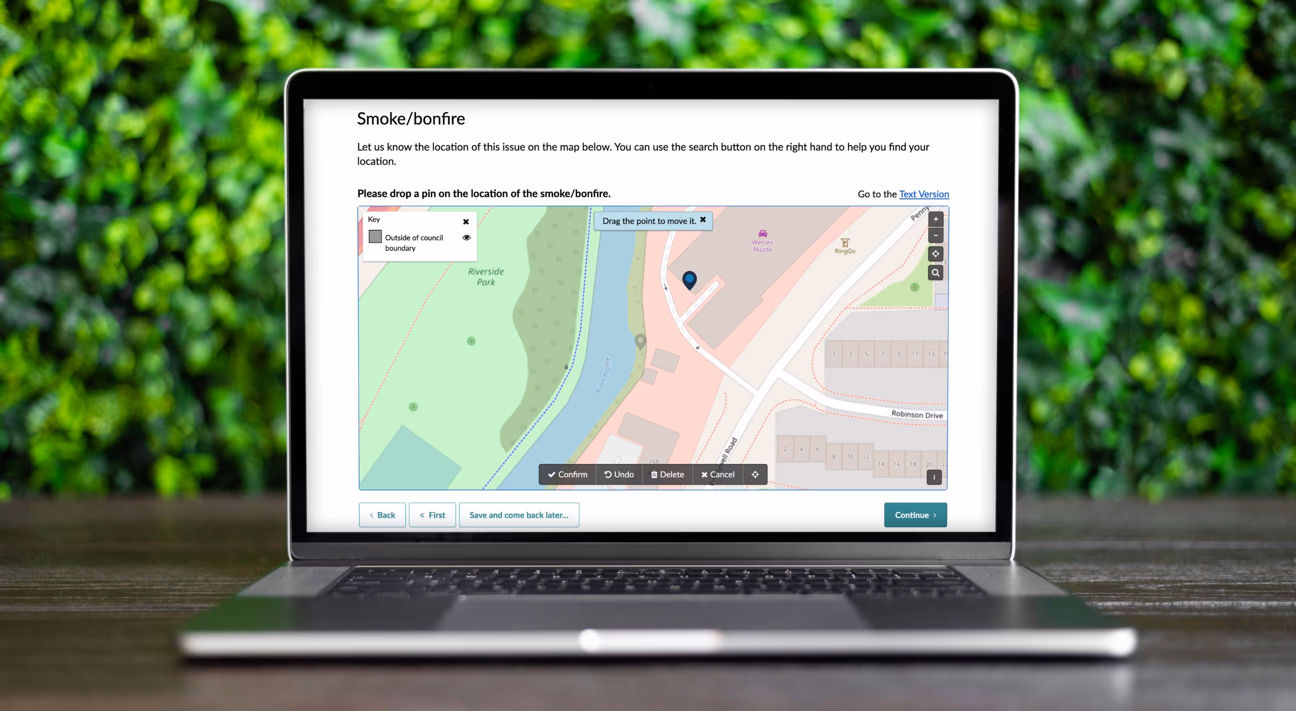
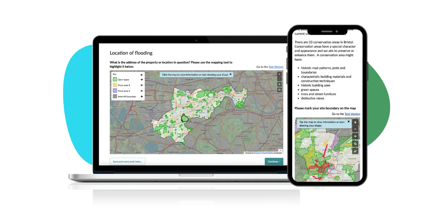
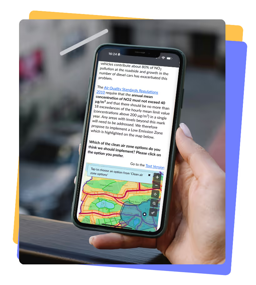
Citizen Space Geospatial
The most sophisticated mapping tool on the market. Purpose built for place based engagement.
Citizen Space Geospatial is transformational for any process that requires mapping data.
No other platform seamlessly integrates maps throughout consultations, engagement activities, surveys and response forms in this way.


.svg)


.svg)
-Photoroom.png)


