How Westmorland and Furness Council used Citizen Space Geospatial to power their Call for Sites
The challenge
Westmorland and Furness Council is producing a new Local Plan for the district, which includes policies for minerals and waste that will replace the existing Cumbria Minerals and Waste Local Plan.
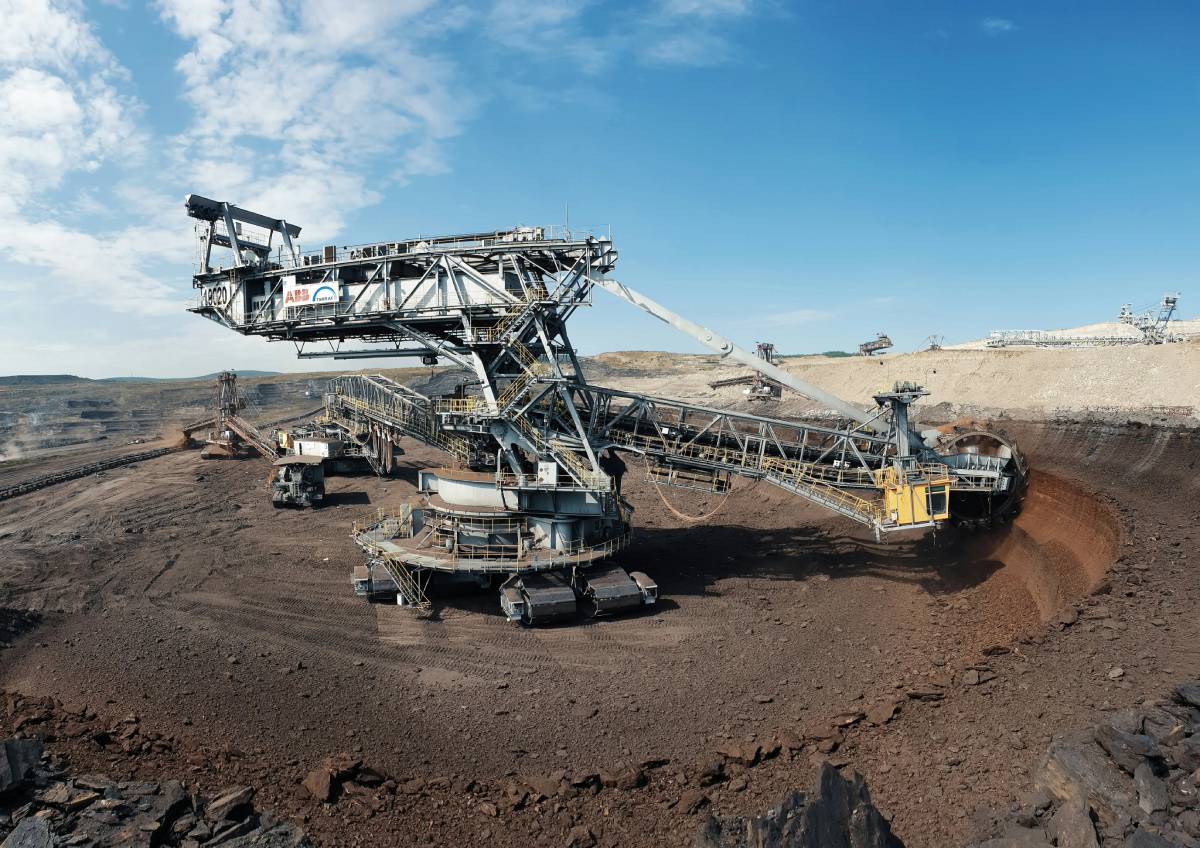
As part of that process, the Council needed to run a Call for Sites exercise, inviting landowners, mineral operators and other parties to submit land they considered suitable for future minerals and waste development across a large and geographically complex district.
The challenge was not just collecting submissions, but making sense of them spatially. With sites scattered across a vast rural area, the Council needed a way to gather location-based data, display it clearly, assess sites against a wide range of constraints and share findings transparently with stakeholders and the public.
The approach
Westmorland and Furness used Citizen Space Geospatial to run their Call for Sites, using the interactive map at the heart of the activity to allow site promoters to submit locations directly. This gave the Council structured, spatial data from the outset rather than a pile of documents describing places in words.
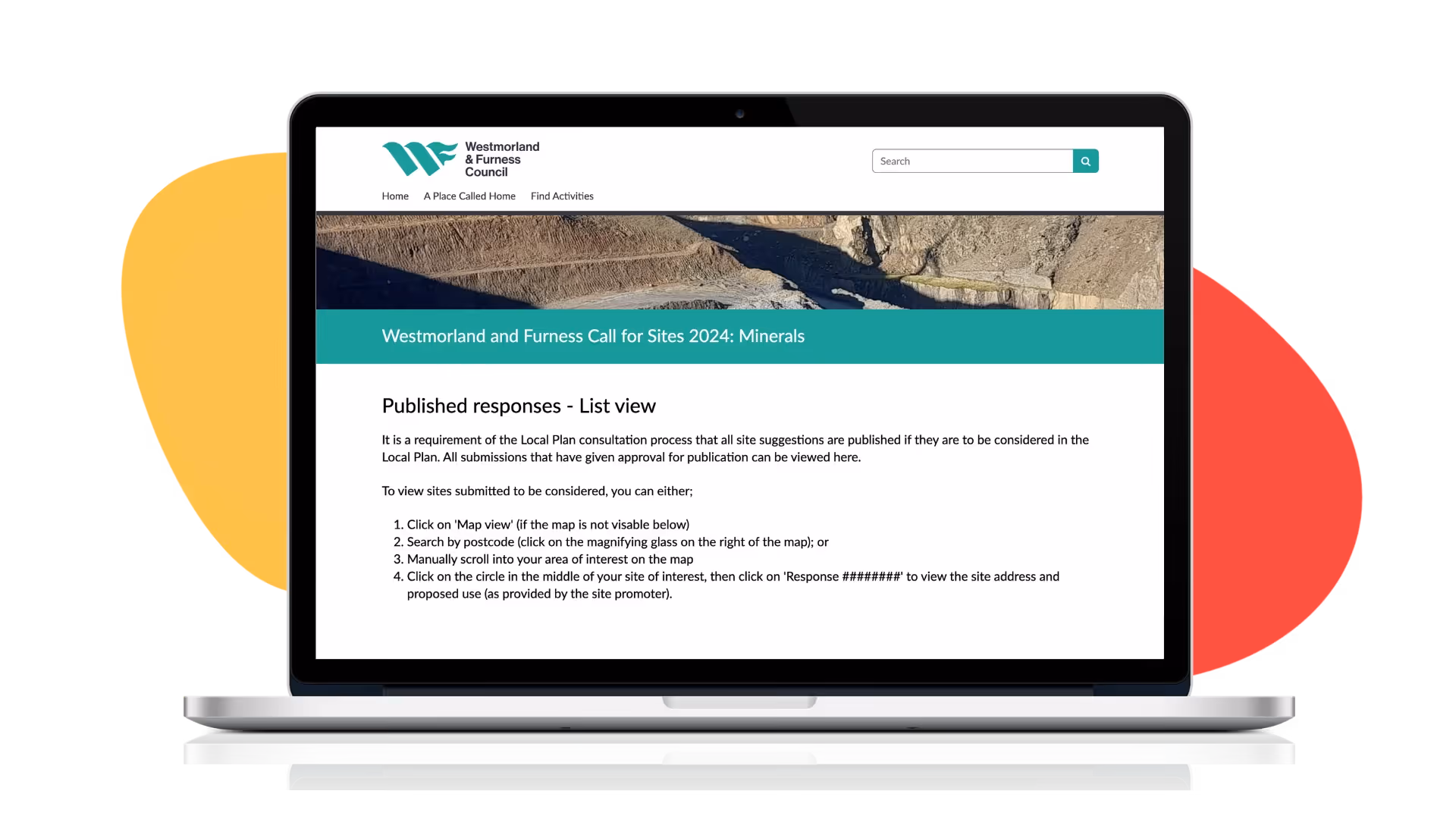
Once the submission window closed, the Council published the results using Citizen Space Geospatial's response publishing tools, displaying all submitted sites on an interactive map for anyone to explore. Visitors could navigate across the district, select individual sites and view the information submitted by each site promoter, with the Council clearly noting that published responses reflected the original submissions and not any assessment of suitability. This approach kept the process open, transparent and easy for stakeholders to engage with.
The spatial data collected through Citizen Space then fed directly into the Council's constraint assessment work, carried out using the Placemaker spatial planning tool, which scored each site against environmental, heritage, flood risk, biodiversity, landscape and infrastructure constraints to build the early evidence base for the Local Plan.
The results
The Call for Sites received 20 minerals site submissions and 3 waste site submissions. Thanks to the structured, geospatial data collected through Citizen Space, the Council was able to move efficiently into a high level constraint assessment. Every single one of the 23 submitted sites achieved a positive balance score, meaning all 20 minerals sites and all 3 waste sites were identified as sites of least constraint, with no sites excluded at this stage.
The findings have been published openly on Citizen Space, with interactive maps allowing the public and stakeholders to explore each site and its assessment outcomes in detail. As the Local Plan continues to develop, Westmorland and Furness will use the data and evidence gathered through Citizen Space to inform the next stages of statutory consultation, with any sites proposed for minerals and waste development subject to further assessment before decisions are taken on the most appropriate and sustainable locations for future development.
By embedding Citizen Space Geospatial at the heart of this process, the Council has built a strong, transparent foundation for ongoing community and stakeholder engagement as the Local Plan progresses.
Delib is a govtech leader specialising in consultation and engagement, trusted by over 600 government organisations worldwide, including major planning projects. Since 2004, we've been building secure, accessible digital platforms to make participation simpler, fairer, and more inclusive. Our flagship product, Citizen Space, was built in collaboration with the UK government and has supported more than 11 million responses across over 110,000 democratic activities.