How Somerset Council is using Citizen Space Geospatial to track a county-wide tree planting ambition
The challenge
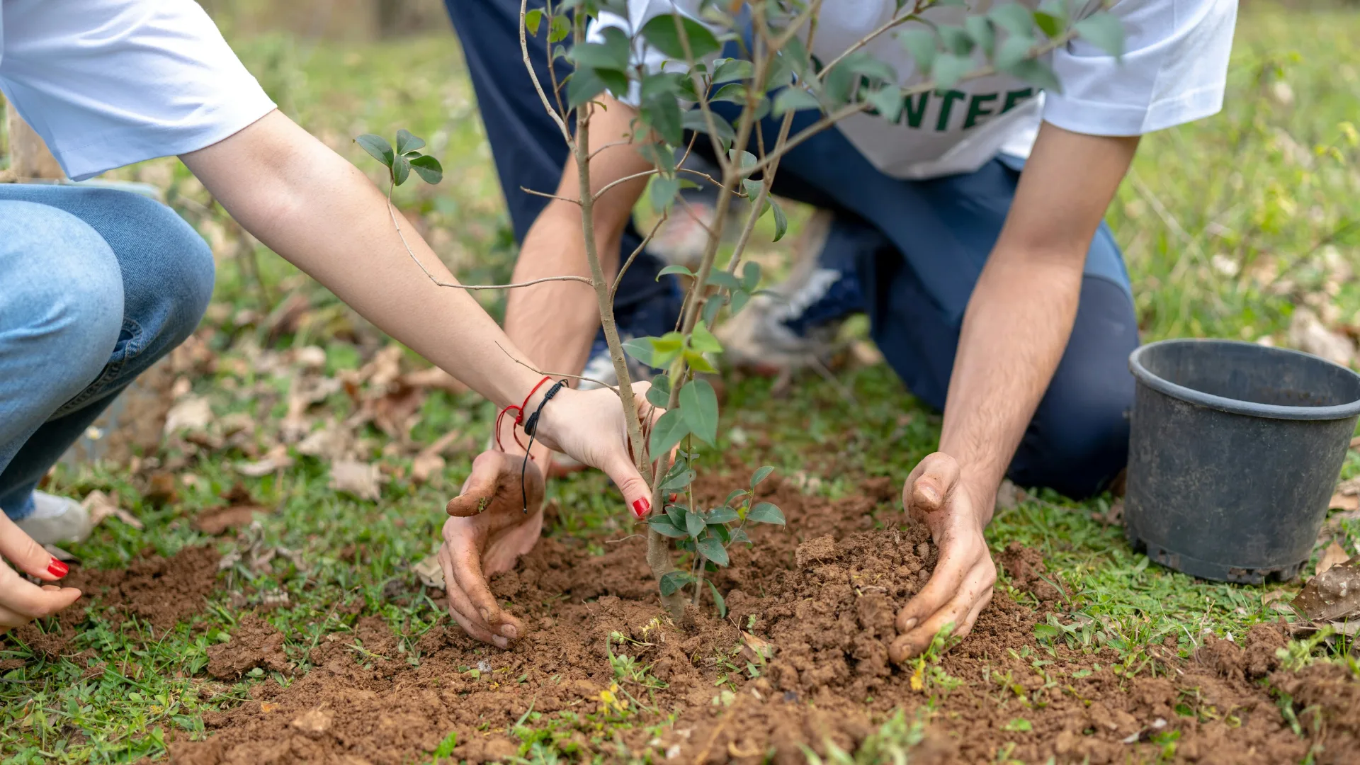
Somerset Council published its Tree Strategy in 2023 with an ambitious 10-year plan to transform the county's landscape. With tree coverage sitting at just 8% against a national average of 13%, the strategy set out a target to plant a minimum of 240 hectares of new trees and woodland every year until 2033, increasing coverage across everything from Somerset's famous apple orchards to the ancient oak woodlands of Exmoor.
The challenge was not just planting trees. It was knowing where they were being planted. Across a county as large and varied as Somerset, tree planting activity is happening constantly, carried out by farmers, community groups, landowners, businesses, charities and individual residents. Without a way to capture and visualise all of that activity in one place, the Council had no reliable way to measure progress against its targets or celebrate the collective effort of the people of Somerset.
Our approach
Somerset Council used Citizen Space Geospatial to build an interactive tree planting map, open to anyone across the county who is involved in planting trees or hedgerows. The activity invites residents, organisations, farmers and community groups to register their planting by dropping a pin on a map to mark the location of their trees, grouping nearby sites and planting periods into single entries to keep the data clean and manageable.
Alongside the location data, respondents share details about the nature of their planting, allowing the Council to build a rich, county-wide picture of who is planting, what they are planting and where. The map is designed to be quick and accessible, taking around five minutes to complete, with personal information kept anonymous on the public-facing map.
The activity will remain open until January 2033, running for the full duration of the Tree Strategy, meaning the map will grow continuously as a living record of Somerset's journey towards its tree cover goals.
The results
The tree planting map is actively gathering spatial data from across Somerset, building a county-wide picture of new planting that would be impossible to construct through any other means. As the map grows, it gives the Council the evidence it needs to measure progress against the 240 hectare annual target, identify gaps in coverage, and recognise the efforts of the communities, landowners and organisations driving change across the county.
By putting geospatial technology in the hands of everyday residents, Somerset Council has found a way to make a complex, long-term environmental ambition feel personal and participatory. Every pin dropped on the map is a contribution to a greener, more resilient Somerset.

Delib is a govtech leader specialising in consultation and engagement, trusted by over 600 government organisations worldwide, including major planning projects. Since 2004, we've been building secure, accessible digital platforms to make participation simpler, fairer, and more inclusive. Our flagship product, Citizen Space, was built in collaboration with the UK government and has supported more than 11 million responses across over 110,000 democratic activities.