Transport planning & engagement

From local transport plans to major infrastructure projects, consult on strategic transport proposals with a platform built for visual clarity, meaningful engagement, and proper process.
Transport consultations need to work harder than standard surveys. You're asking people to understand network changes, assess long-term impacts, and comment on infrastructure that doesn't exist yet. You need to reach beyond transport enthusiasts, gather location-specific feedback, and demonstrate how consultation shaped your strategy.
Citizen Space helps planning teams run consultations that make complex proposals clear, collect structured feedback, and build public support for sustainable transport.
Want to see it in action?
Make transport strategy simple and accessible
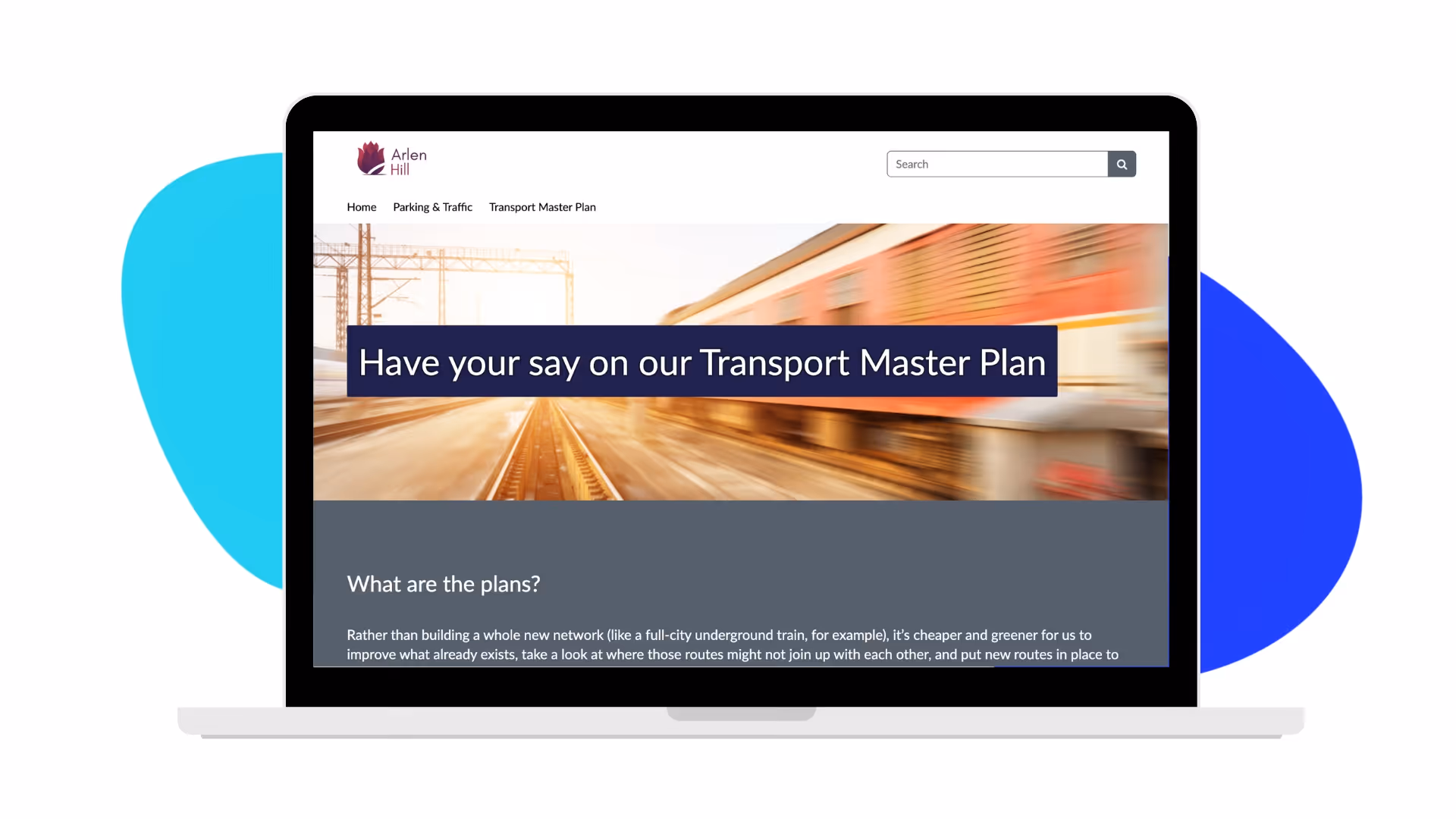
Show the bigger picture
Embed maps, route diagrams, and infrastructure plans directly in your consultation. Add photos and other visualisations of proposed schemes. Include context about how changes fit into wider transport goals. All these pieces of rich supporting context help respondents see the breadth of what you're proposing before they add comments.
Add interactive mapping for network planning
Use Citizen Space Geospatial to show how transport networks connect. Display proposed cycle routes, bus corridors, or rail extensions. Let people see how schemes affect their area and collect responses tied to specific locations.
Built for respondents, designed for transport teams
Simple, flexible publishing tools make breaking down transport policy into accessible formats a breeze. Mobile-friendly design for people responding on their commute. No login required so anyone can have their say.


Citizen Space has greatly improved the quality and quantity of consultations that we run. The fact that we can have unlimited site admins means that lots of different departments are on board, and having a standardised method of consultation has made the process easier for us and our citizens.
Give transport planning real-world context with Citizen Space Geospatial
Add geospatial mapping to your Citizen Space subscription to collect place-based responses on transport schemes. Interactive mapping provides clarity on how transport networks connect and where infrastructure will go. Participants can see proposed routes, sites, and connections in their area and respond with feedback grounded in local knowledge and give more informed responses.

How transport planning consultations work on Citizen Space
- Set out your proposal: Share transport strategy documents, scheme designs, and add interactive mapping to show network plans or site locations.
- Build your consultation: Create structured questions about transport priorities, scheme options, or policy approaches. Use flexible answer components to gather a range of responses.
- Gather responses: Collect structured feedback from residents, businesses, transport user groups, and statutory consultees. There's no login required which means lower barriers to participation from people who'll actually use the transport network.
- Analyse and demonstrate impact: Code themes in responses and export data for detailed analysis. Publish summaries and responses showing how the consultation shaped your transport strategy or scheme design.

See how Citizen Space handles transport planning
Book a demo and we'll walk through your specific needs - whether that's local transport plan consultations, active travel engagement, or major infrastructure schemes.