Call for sites

Running a call for sites means managing submissions from developers, landowners, planning consultants, community groups and individual residents, often all at the same time, often in very different formats. Without the right platform, that quickly becomes an exercise in document management rather than genuine spatial evidence gathering. The data you collect at this stage shapes your entire local plan evidence base, so getting it right from the outset matters far more than it might seem when you are simply trying to get the exercise open and published.
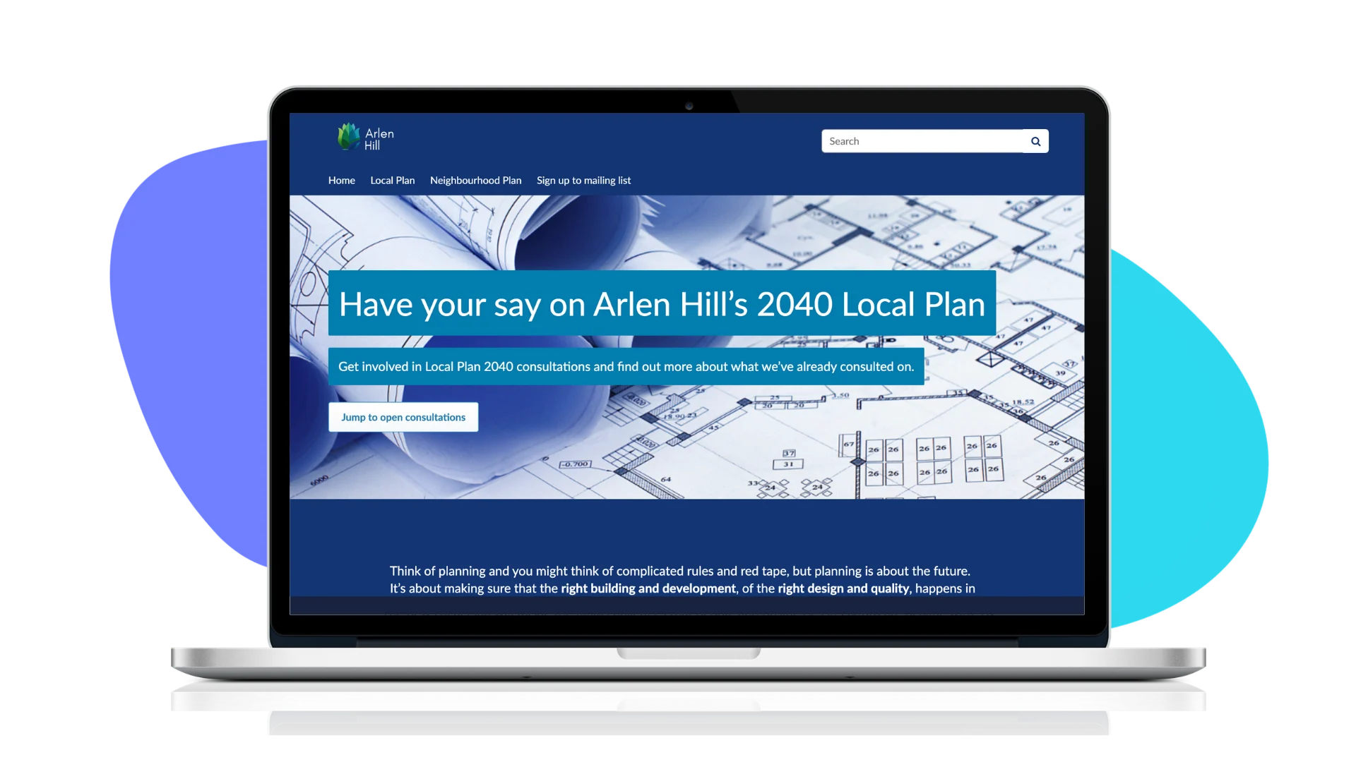
Citizen Space gives planning teams a single, structured way to run the whole process, from publication through to analysis and reporting, with geospatial tools built in so that location-based data is collected properly from the start rather than reconstructed afterwards.
Why calls for sites need more than a standard survey tool
A call for sites is not a simple questionnaire. Submitters need to be able to identify locations precisely, upload supporting documents, and navigate a form that works equally well for a planning consultant submitting multiple detailed sites and a local resident putting forward a small parcel of land they own. The responses need to be analysable, auditable, and ready to feed into the evidence base for the local plan.
Standard survey tools were not designed for this. They can capture text and multiple choice answers, but they cannot handle the spatial dimension of a call for sites properly, and they rarely produce data in a format that feeds cleanly into the planning process without significant manual work afterwards. Citizen Space was built for and with government, with statutory consultation requirements and government standards at its core, which makes it a considerably better fit for a process that sits at the heart of the local plan making system.
Build a transparent, reusable process
With mandatory housing targets now in place and the government's push for universal local plan coverage, most planning authorities are facing a programme of local plan work rather than a one-off exercise. A call for sites that is properly documented, clearly structured, and transparently reported on is one that holds up to examination scrutiny and can be repeated and refined as the plan making cycle continues.
Running each stage consistently on the same platform, and publishing summaries directly after each phase, means communities can see how their input is shaping the plan. That kind of continuity matters when you are managing a multi-year process under close public scrutiny, and it builds the kind of public trust in the process that makes subsequent stages of engagement more productive.
Citizen Space also gives you the tools to demonstrate compliance. Structured responses, a clear audit trail of what was asked and what was received, and the ability to publish outcomes and explain decisions all contribute to a consultation record that is ready for examination without requiring significant additional work to prepare.
From submission to analysis without the manual work
Once submissions close, Citizen Space's built-in analysis tools let you filter, tag, and code responses, generate reports in PDF or Word format, and export data for use in GIS and other systems via the secure data API.
For planning teams managing calls for sites alongside a wider programme of statutory engagement, that efficiency is significant. Everything from publication to reporting is handled in one place, by the same team, without specialist technical support, and without the data moving through multiple systems before it reaches the people who need to assess it.
Throughout the whole process, your dedicated customer success manager is on hand to help you get the most out of the platform, drawing on Delib's two decades of experience supporting government consultation at every scale.

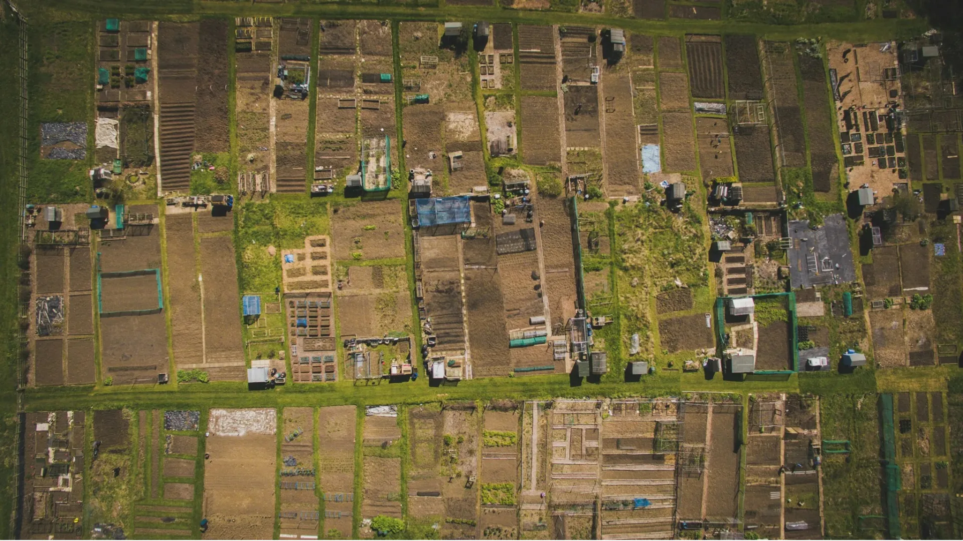
Collect spatial data properly the first time
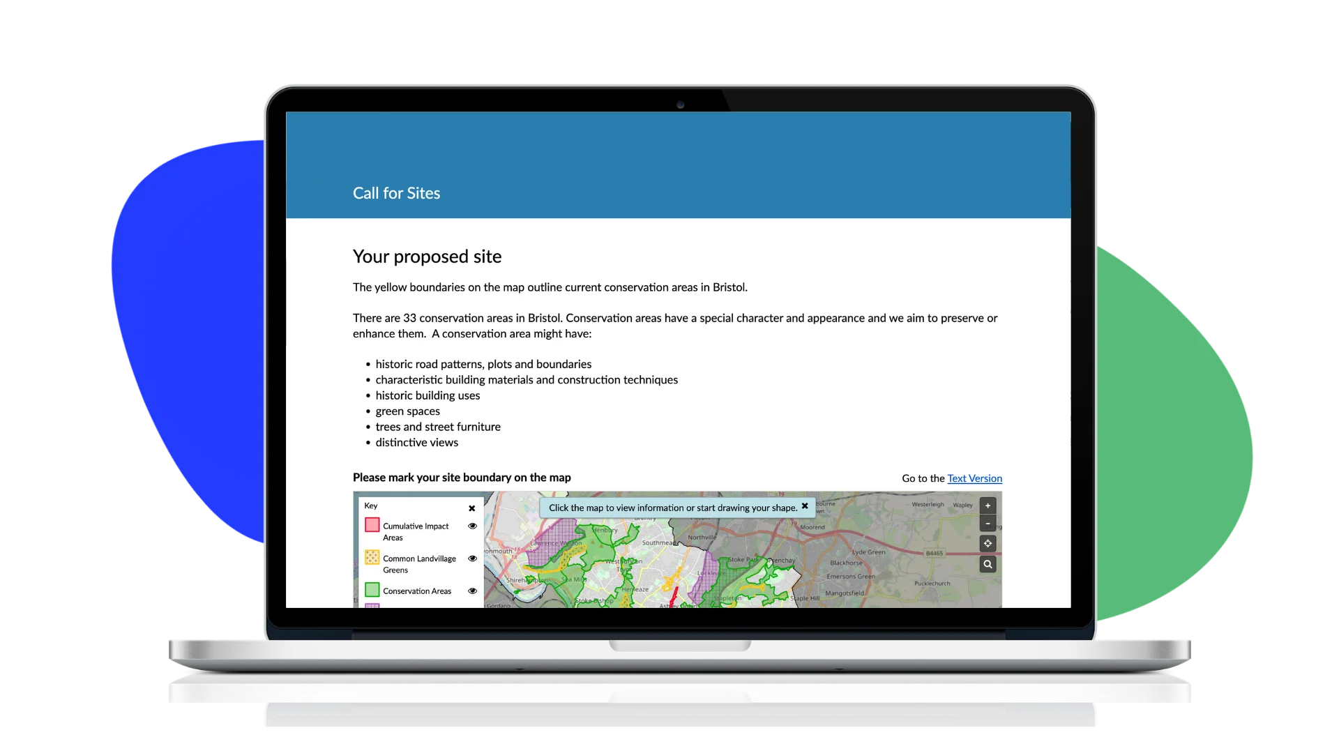
Citizen Space Geospatial lets submitters mark out sites directly on an interactive map rather than describing locations in free text or uploading shapefiles that then need to be manually processed. They can drop pins, draw boundaries, and add supporting commentary, all within the same form. That spatial data feeds straight into your evidence base in a structured, usable format, ready for constraint assessment without the manual processing that document-based submissions typically require.
For planning teams juggling a call for sites alongside the rest of their local plan workload, that difference is significant. Data that arrives in a consistent, structured format can be assessed and mapped immediately. Data that arrives as a collection of emails, PDFs and hand-drawn plans on paper requires someone to manually enter and reconcile it before any assessment work can begin. Citizen Space removes that bottleneck at the point of collection rather than leaving it to be dealt with after the exercise closes.
The geospatial data collected through the call for sites can also be published on a public-facing interactive map, giving full transparency to the process and allowing communities and stakeholders to see what has been submitted and where.
Handle the full range of submitters in one place
Calls for sites attract very different audiences with very different needs. Developers and planning consultants want to submit detailed technical information efficiently, sometimes for multiple sites in a single session. Landowners and community groups may be less familiar with planning processes and need a clear, accessible form that guides them through what is being asked without overwhelming them with technical language or unnecessary complexity.
Citizen Space handles both without compromise. Conditional routing means different submitters see the questions relevant to them, so a professional submitter can move through a detailed technical form quickly while a first-time respondent gets a simpler, guided experience. No login is required to respond, the platform is mobile-optimised, and it meets WCAG 2.2 accessibility standards, so barriers to participation are kept to a minimum without compromising the quality or structure of what you collect.
This matters because a call for sites is only as good as its reach. If the process is difficult to navigate, you will hear predominantly from professional submitters and miss the smaller landowners and community groups who may be putting forward genuinely suitable sites. A platform that works for everyone produces a more complete picture.
Ready to run your next call for sites on Citizen Space?
Whether you are preparing for your first call for sites or looking for a better way to manage an established process, we can help. Book a demo and we will show you how Citizen Space handles everything from spatial data collection to analysis and reporting, all in one place.