Geospatial mapping in healthcare: Visualising access & equity across communities

Making access to healthcare fairer and more equitable is a stated aim for governments around the world. It is particularly important for countries where there are significant populations who traditionally face barriers to access. The increasing use of geospatial tools to visualise what healthcare access does and could look like is having a big impact on how governments and public bodies can plan healthcare provision.
What is geospatial mapping?

Geospatial mapping is the process of creating maps using geospatial (or GIS) data. That is any data that describes the relationship between an object and the Earth. In practice, geospatial mapping describes any activity where different layers of geographic information can be viewed, understood, interacted with and commented on.
In healthcare, geospatial mapping refers to using geographic information to decide how healthcare services are run, and how they may be improved in the future. GIS data can be used to help decision-makers understand how location - particularly transport, local infrastructure and the environment can influence patient access. It can also be used to map and predict where certain health issues may become more prevalent, due to population density or poverty.
Geospatial mapping is now being used in almost every area of public life, covering everything from transport to urban planning. In healthcare, geospatial analysis creates an evidence-led approach for a comprehensive service coverage, and is being used for everything from vaccination campaigns to emergency response strategy.
How mapping can identify issues and opportunities in healthcare access

Mapping provides a new avenue for information to be both expressed and understood. One of the key ways this can benefit decision-makers is in the ability for geospatial data to show where there are service gaps.
A service gap will mean different things to different sectors. In transport planning, it may mean an area that has no direct bus route to their nearest urban centre. In urban planning, it could be a housing estate with no shops within a certain walking distance. However, what does a service gap look like in a healthcare setting?
Ensuring gap-free healthcare access
No service gap is ideal, but when it comes to healthcare a service gap can be very serious. In some circumstances, it can even be life threatening. Examples of healthcare service gaps include:
- Areas where there is no public transport to the nearest hospital.
- Hospital bus routes that become very busy during peak times.
- Areas where specialist medical centres (for example hospices, stroke units, etc) aren't available or are oversubscribed.
- Places where care in the community is lacking, driving up the use of emergency services.
Information is very powerful. By understanding where gaps are, decision-makers can make evidence-led decisions about how to use resources to better ensure healthcare equity across a region. It can make decisions more cost-effective too. For example, geospatial analysis may reveal that what is lacking is something relatively inexpensive, such as a new GP surgery, rather than a new A&E department.
Bridging the rural divide
Most of these service gaps are more common in very rural areas. While cities may have to deal with some services being over capacity, they are undeniably advantaged by simply having those facilities. For those living in rural areas, such as the majority of Aboriginal Australians and Torres Strait Islanders, their nearest service may be hundreds of miles away.
In this example, the problems associated with living in a remote location can compound other issues, such as a pre-existing lack of trust in the healthcare system and financial exclusion.
Rural healthcare service provision is a complex issue, as it would be unfeasible to build highly specialist units in remote locations. However, it is vital to ensure that all citizens have equitable access to the healthcare services they need. Geospatial mapping can go some way towards finding solutions to these issues, by fully understanding what and where those issues are.
Using geospatial mapping to drive healthcare engagement
Healthcare is not the first sector one tends to think of when it comes to geospatial data
Types of healthcare engagement
When it comes to healthcare engagement, there are three main types of engagement to consider:
- Patient engagement: This is engagement aimed at patients currently using healthcare services. It may ask them about their experiences, issues they've had accessing healthcare and what they would like to see done differently. In some hospitals, particularly in Australia, this is a relatively standard practice to ensure hospitals and healthcare settings are meeting basic expectations.
- Staff engagement: Engagement aimed at staff tends to focus more on broad trends. For example, which issues are they seeing most commonly. It is essential that feedback can be collected anonymously and at a time when staff are not distracted with medical duties. For this, having an accessible and ideally mobile-friendly engagement platform is ideal.
- Public engagement: A public consultation casts the widest net, but can be useful for seeing how those who use healthcare services less regularly are currently accessing services. Or if they aren't currently accessing services but would like to, what barriers they're encountering.
How to incorporate engagement activities in a healthcare setting
Incorporating engagement activities into healthcare settings can be difficult, as it is a busy environment for staff and could be a very difficult time for patients. It is important to ensure that any engagement activity:
- Ensures anonymity. For staff, it ensures they can share information without worrying about their job security. For patients, it means they do not have to worry about private medical information being shared.
- Does not disrupt the normal workflow of the medical setting. For example: don't plan a presentation to all staff during their regular ward hours.
- Make sure questions are asked with sensitivity to the setting.
- All activities should be accessible, but this is particularly true for consultations that may involve people who are generally unwell or have chronic conditions.
Types of healthcare engagement activities
The best type of engagement activity will depend largely on the purpose of the activity. For example, are you trying to address service gaps in rural areas? Or are you trying to assess what issues patients have navigating a hospital? Healthcare access is a big subject requiring a wide range of engagement techniques.
Consultations are one of the best one-size-fits-all forms of engagement. However, a simple staff survey can often miss out on vital information. Instead, ensuring that a mix of qualitative and quantitative questions are asked is the best way to ensure information that delivers clear data without missing out on new insights.
Geospatial mapping adds a new dimension to healthcare consultations. By being used alongside more traditional consultation questions, participants can provide decision-makers with information that is both broad and deep.
A high level of engagement from staff, patients and members of the public can have a radical effect on how healthcare services are run. By gathering first-hand accounts of the issues and opportunities regularly encountered by participants, decision-makers can take an evidence-led approach to improving services. Healthcare engagement can quite literally save lives.
Case Studies: Engaging patients
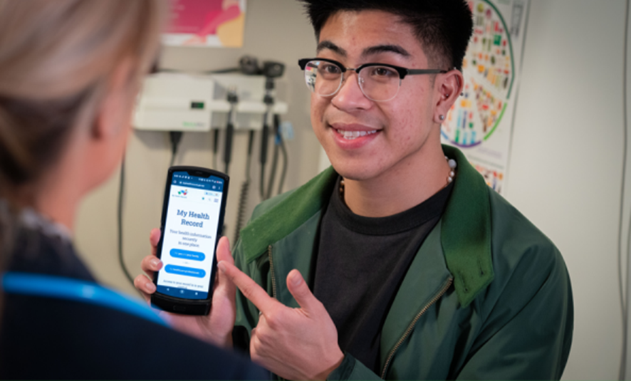
Digital engagement platforms like Citizen Space have had a big impact on healthcare services around the world:
As part of the Australian National Digital Health Strategy's commitment to creating a modern, digitised healthcare system inclusive of all people living in Australia, the Western Australia Department of Health used Citizen Space to conduct a large-scale public consultation on cancer prevention. Hundreds of participants provided valuable feedback alongside quantitative data. This was used to significantly improve the department's Cancer Control Report.
The engagement helped healthcare professionals to better understand public d attitudes toward cancer prevention, guiding future communication strategies. This initiative showed how digital consultation tools can be used to enhance decision-making in healthcare.
On the other side of the world, NHS Digital aimed to transform services through digital engagement. They chose Citizen Space for its scalability, including unlimited consultations and users. NHS Digital has already run nearly 600 consultations using the platform.
"This consultation process has generated momentum in bringing together a range of organisations and individuals, including the general public, to discuss cancer prevention in WA."
- Chief Health Officer's report, Government of Western Australia Department of Health
Citizen Space is the go-to platform for connecting governments, developers, and citizens. If you'd like to learn more about how our software can support geospatial mapping and improving healthcare engagement, book a free demo and we'll walk you through it.
Sign up for the Delib newsletter here to get relevant updates posted to your email inbox.