Place-based engagement with Citizen Space Geospatial
Include maps and geospatial data throughout your consultation and engagement activities.
Build beautiful, informative maps that ask people questions
Collect geospatial responses from citizens and stakeholders
Analyse, filter, report and export your data in one place
Publish responses as data for transparency and accountability
Citizen Space Geospatial is transformational for any process that requires mapping data.
- Spatial planning
- Transport and travel strategy
- Infrastructure development
- Environmental and land management
- Flood strategy and climate response
- Public safety and crime reports
Geospatial is an optional addition to your Citizen Space subscription. Request a demo to find out more.
Build beautiful, informative maps
Simple and intuitive tools let you create informative interactive maps.

The responses you need
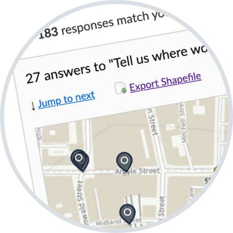
Respondents can answer by drawing or dropping a pin directly on the map

From the information you provide
Map your data with informational layers to add more detail and context

Automatically validated for relevance
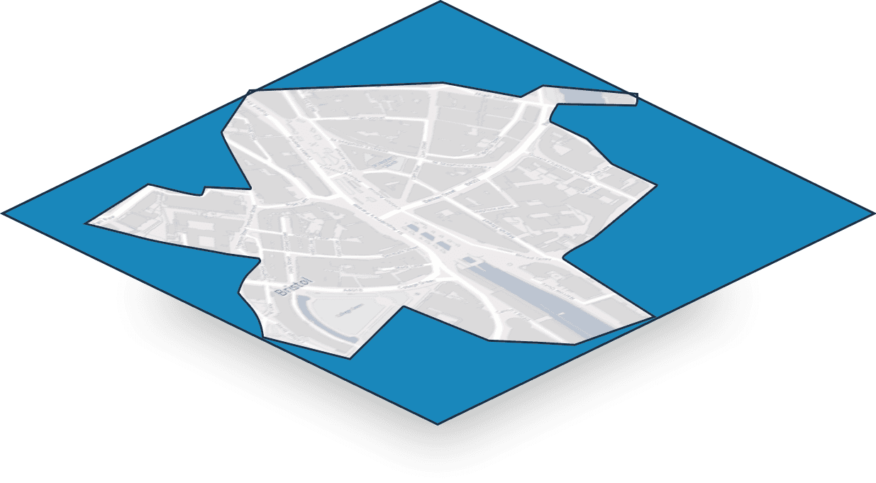
Set a validation area to make sure responses are focused and relevant

Built on a basemap of your choice
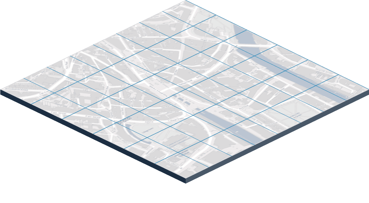
Choose from a selection of background maps to best suit your process
Choose how you want people to respond
Get exactly the type of geospatial data you need for your process.

Shapes and polygons
Respondents draw areas, property boundaries and other shapes.

Lines and routes
Respondents mark out paths, travel routes and other lines.

Pins and points
Respondents drop pins on specific locations or points.
Unique to Citizen Space Geospatial: ask all the other questions you need alongside maps, including multiple choice, text comments, demographics and more.
No other platform seamlessly integrates maps throughout consultations, engagement activities, surveys and response forms in this way. Find out more with a free demo.
Inform at the point of response
Provide map layers for people to explore before responding. Show existing infrastructure, boundaries and zoning. Or show plans and proposed changes. Include what you need and let users choose what to explore.
Use data you have in-house, or import from the constantly-growing registers of open geospatial data.

Generate data not documents
Geographic Informational Systems (GIS) are now widely used for delivering services and processes across government. To work effectively, geospatial data from consultation and engagement has to flow to and from other systems and organisations.
Citizen Space Geospatial is designed to work brilliantly with your GIS and the rest of the geospatial ecosystem.
Work seamlessly with GIS software
Standardised import and export of GIS data to and from other systems, including shapefiles and GeoJSON.
Supply data to downstream consumers
Collect the data you need for registers and open data portals, for example land and sites registers.
Save time by reducing paper processes
Eliminate manual data entry including transcribing from responses on paper maps.
Citizen Space Geospatial is designed to support government processes that are going digital, including the digitisation of spatial planning, digital registers of land, brownfield sites, and sites available for development. Get a demo to find out more.
On-demand access to your data

Real-time dashboards
Real-time access to geospatial data received, through powerful admin dashboards.

See responses as they arrive
Responses are displayed immediately. See them on maps or navigate them in tables.

Explore and filter responses
Drill down through responses. See easily what each person said. Filter and segment responses for more insight.
Transparency made easy
Many organisations need to publish the data and responses collected from consultations, engagement activities, surveys and response forms.
In addition to exporting data for use elsewhere, you can publish data from respondents directly in Citizen Space Geospatial.
Respondent submissions can be moderated and redacted, then published. Respondent privacy choices are respected.
Respondent submissions are displayed on an interactive map that visitors can zoom and pan to find responses.
Users can filter and search responses, and view each response in detail, including all published answers.
By publishing responses, people can find out how their response related to others, people can explore full the range of responses, and you can demonstrate accountability and transparency. Request a demo to find out more.
The better approach to maps: all in one place
Use geospatial data throughout your consultations, engagement activities, surveys and response forms, all within the same platform. It's unique to Citizen Space Geospatial, and it works beautifully.
Learn more about Citizen Space Geospatial, or request a demo to find out how it can work for you.