Customer story: Essex County Council
Transport Planning Process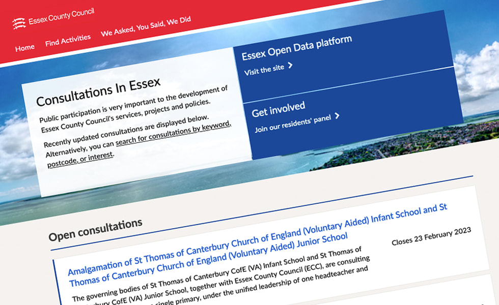
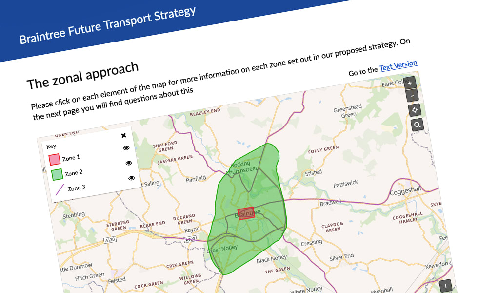
Transforming transport for Braintree
Like many regional authorities, Essex County Council is constantly looking at ways to help reduce its carbon footprint and encourage a more active lifestyle among its residents. One project that it's working on in pursuit of both of these aims is the Braintree Future Transport Strategy. The council has calculated that if all of the town's people were to "walk, cycle or use public transport for a short journey just twice a week we would see a reduction of 50,000 car journeys" in Braintree.
In addition to the aforementioned environmental and health advantages, the council believes that such a move could help reduce congestion and "improve the look and feel of the town". But before these benefits can be realised, the council needs to understand how its residents currently travel, what factors influence their journey decision making, and what they think of its proposed plans for transforming transport in Braintree.
Essex County Council is very much ahead of the curve when it comes to digital transformation, and therefore was an early adopter of Citizen Space. Since 2019, Essex County Council has overhauled the way it works and made extensive use of Citizen Space to help it dramatically improve its consultation processes.
Now, with the addition of Citizen Space Geospatial, the council is able to bring a whole new dimension to this work.
Helping residents visualise the issues
Essex County Council wanted to know more about how people in Braintree were using the existing transport infrastructure - and what was stopping them from walking or using public transport more.
Using Citizen Space, the council consulted with Braintree residents on each of these issues, using a mixture of multiple choice and open-ended questions to gain insight into their current habits and their needs. With the addition of Citizen Space Geospatial, the council was able to provide its constituents with a clear visual view of how the Braintree Future Transport Strategy would impact their neighbourhood.
The council used Citizen Space Geospatial's interactive map feature to give residents an easy-to-understand look at its proposals, showcasing the different zones and corridors at the heart of the strategy and allowing users to visualise where their local area would fit in with the plans.
Enhancing engagement
As a long-time user of Citizen Space, Essex County Council were already well aware of its ability to power next-generation engagement. Yet Citizen Space Geospatial is further revolutionising the authority's place-based activities. The platform is supporting them to generate new ideas, get more specific feedback, and better inform people about their decisions.
Citizen Space Geospatial is helping organisations like Essex County Council to not just visualise the problem, but to visualise the solution as well.
Our historic tools for doing this were really antiquated and not very enticing, and they were hard to use internally as well. A modern tool like Citizen Space, that’s proven, that has a good track record, is a really important way of making engagement a more friendly experience for citizens.
Jason Kitcat, Executive Director for Corporate Development, Essex County Council
Want a real person to walk you through a live demo?
We’re happy to help out. We'll answer all your questions. We won't share your contact details.
Request a Free Demo